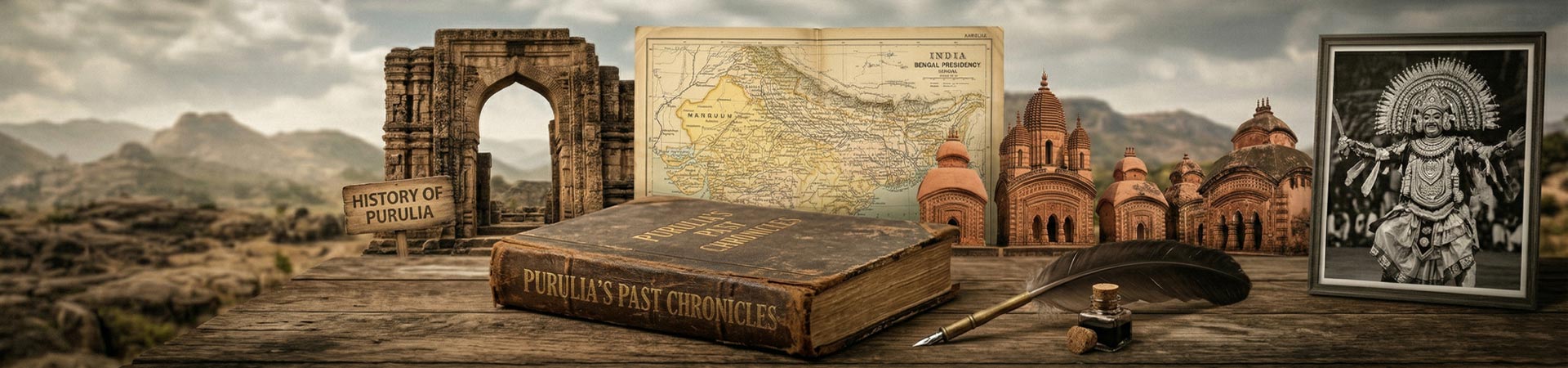
History Of Purulia
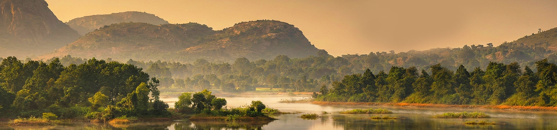
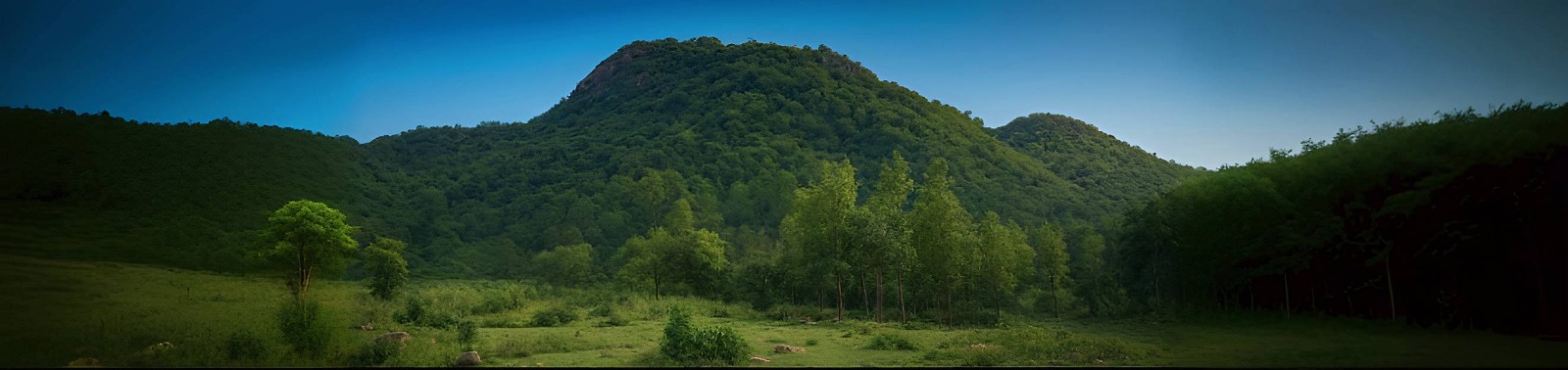
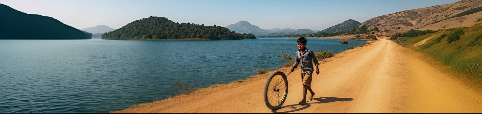
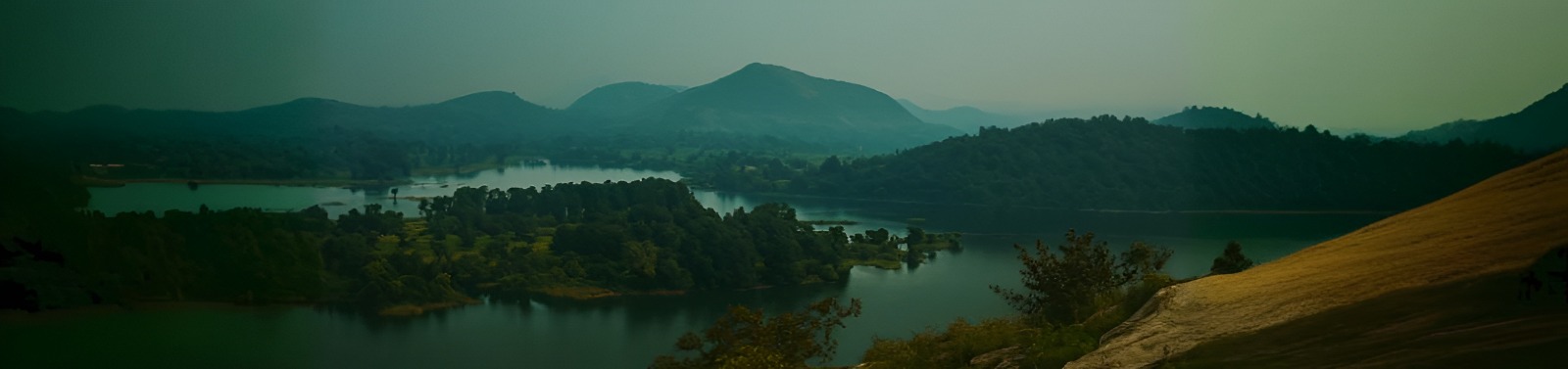
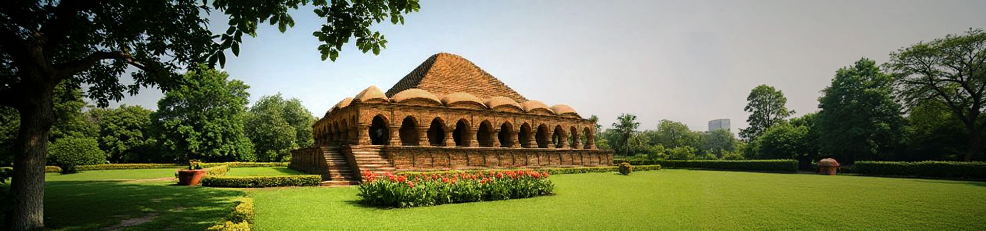
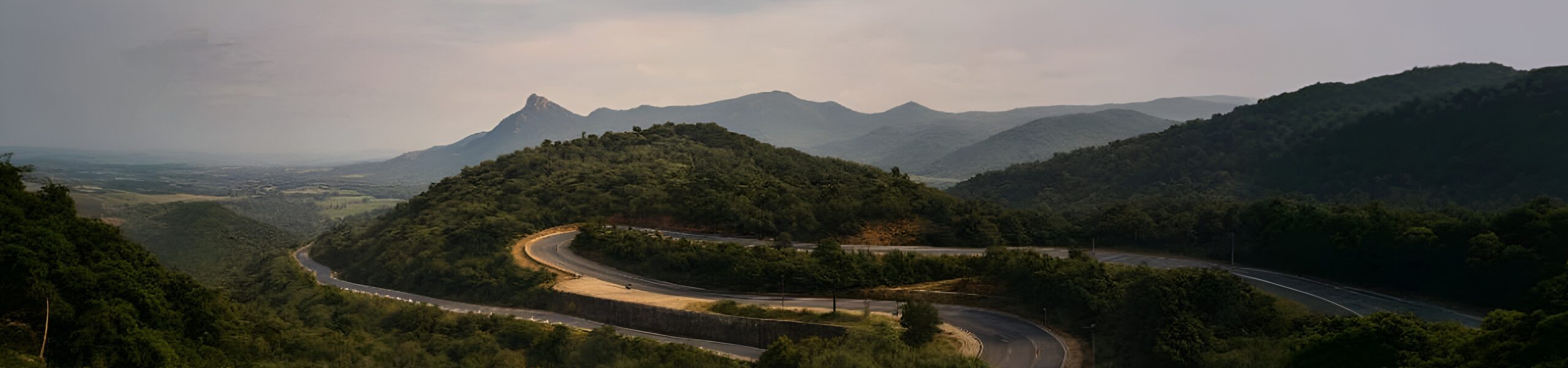
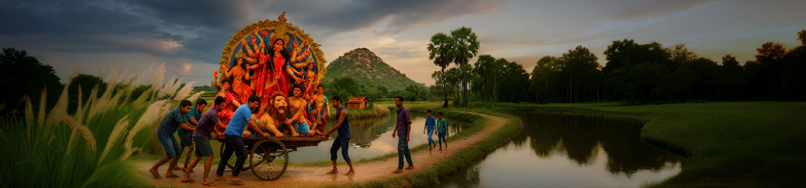
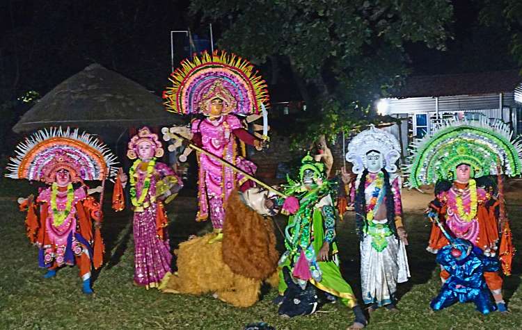
Purulia: Unearthing the ‘Land of the Thunderbolt’ A Traveler’s Guide to Ancient History, Martial Art, and Spiritual Ecology Purulia, situated on the westernmost periphery of West Bengal, is not just a destination; it is a profound geographical and cultural gateway. Characterized by its strikingly beautiful red lateritic soil and the rugged, undulating terrain of the Chotanagpur range, this district acts as a crucial bridge between the eastern industrial belts and the mineral-rich forested plateaus. From its mysterious ancient designation as Vajra-bhumi—the land of the thunderbolt—to its defining moment as the epicenter of the 1956 Bhasa Andolan, Purulia’s journey is a powerful testament to the resilience of its indigenous populations. For the intrepid traveler, exploring Purulia is an opportunity to immerse oneself in the deeply rooted lifestyle practices that define the enduring “Manbhum” psyche. The Antiquity of Vajra-bhumi: Pilgrimage to Jainism’s Golden Age The land of Purulia possesses an antiquity deeply embedded in both sacred and secular texts, suggesting a human presence that stretches back far beyond conventional historical records. The region is identified in the 5th century AD Jaina Bhagavati-Sutra as a key component of the sixteen Mahajanapadas, confirming its status as the historical country known as Vajra-bhumi. Archaeological surveys have pushed back the timeline of human settlement here dramatically, uncovering evidence of activity dating to the Late Pleistocene period, specifically between 15,000 and 20,000 years BC, with early stone tools suggesting human adaptation even earlier, at 40,000 years. This profound time-depth confirms Purulia’s role as a significant center for early human life in the forested uplands. Medieval Marvels: The Jain Temple Trail During the medieval period, specifically between the 11th and 12th centuries CE, Purulia flourished as a significant stronghold of Jainism, often referred to as its “Golden Age”. Texts like the Acharang Sutra record the arduous travels of the 24th Tirthankara, Vardhamana Mahavira, through the hostile and rugged terrain of Rarh Pradesh, cementing the region’s religious importance. This flourishing period occurred under the patronage of King Anantavarman Chodaganga Deva of the Eastern Ganga Dynasty. Although the king personally adhered to the Shaivite faith, his support led to the construction of numerous sophisticated Jain temples, the ruins of which stand today as stoic reminders of a lost era. A pilgrimage through these ruins offers a compelling glimpse into this architectural heritage: Banda Deul: Widely regarded as the finest surviving stone temple in the district, this 11th-century structure is a testament to meticulous design. It is a sandstone Rekha Deul (a spire-type temple) built on a triratha plan with a distinctive star-shaped ground plan. Tourists can still observe unique features such as the makara-head water outlet. Pakbirra: This site, with its history spanning from the 8th Century BC to the 12th Century CE, was a major center of Jain influence. Its most notable feature is a towering 7.5-foot Mahabahubali/Padmaprabha statue. Interestingly, today, the statue is assimilated into local worship and is revered by the locals as “Bhaironath”. Deulghata: Dating back to the 11th–12th century, this site is associated with Mahavira’s visit and was originally home to three major brick deuls. These temples featured intricate stucco work depicting detailed figures such as geese and kirtimukhas (gargoyle-like faces). These ruins demonstrate a sophisticated blend of locally sourced sandstone and expert brickwork. The eventual decline of Jainism here, often attributed to the “withdrawal of royal support,” resulted in the assimilation of these traditions into the dominant Brahminical Hinduism and local tribal belief systems. The Resilience Narrative: From Jungle Mahal Revolt to Linguistic Freedom Purulia’s history is characterized by a fierce, organized tradition of resistance against “outsider” (Diku) interference. This foundational spirit of defiance makes its historical sites particularly evocative for the modern traveler. The Chuar Rebellion: Seven Decades of Defiance The British acquisition of the Diwani of Bengal, Bihar, and Odisha in 1765 initiated a drastic and “catastrophic shift” for the indigenous populations of Purulia. Driven by high revenue demands, the British administration imposed rigid land tenure systems that directly violated the customary communal rights of the Bhumij, Munda, and Santhal tribes. This clash led to nearly seven decades of intermittent, fierce anti-colonial uprisings collectively known as the Chuar Rebellion or the Jungle Mahal Revolt. The term “Chuar,” a derogatory Bengali word meaning “rude” or “wild,” was contemptuously applied by colonial officials to the tribal insurgents. The core grievance stemmed from the destruction of the pre-colonial paikan system, where tribal paiks (village police) held rent-free chakran lands in exchange for service. The British attempt to reclaim these lands and install their own daroga (professional police) system ignited the revolt. Key moments of this long struggle include: Initial Resistance (1767–1771): Led by figures like Jagannath Singh Patar, which successfully forced the British to temporarily concede on revenue demands in certain areas. The Peak (1798–1799): The most formidable phase, where leaders like Durjan Singh of Raipur and Rani Shiromani of Karnagarh occupied a vast area around Midnapore and Bankura. The colonial response was met with “maximum severity,” leading to the execution of hundreds of rebels. The sustained unrest ultimately forced the British to create the administrative unit of the “Jungle Mahals” in 1805 for direct control, but this failed. The final culmination, the Bhumij Revolt (Ganga Narain Hangama) in 1832, led to the dissolution of the Jungle Mahals and the formation of the Manbhum district in 1833. The Bhasa Andolan: A Victory of Language and Culture (1956) The modern district of Purulia exists due to a successful, mass linguistic movement—the Bhasa Andolan (Language Agitation). After the 1912 partition, the predominantly Bengali-speaking region of Manbhum was included in the Hindi-dominant Bihar province. The cultural tensions escalated in 1948 when the Bihar government declared Hindi as the sole official language for both administration and education in Manbhum. This was perceived by the locals as a direct attack on their linguistic and cultural identity. The resistance was organized by the Lok Sevak Sangha (LSS), formed at Pakbirra village on June 14, 1948, by leaders who resigned from the Congress Party, including Atul Chandra Ghosh, “Rishi” Nibaran Chandra Das